Osor beyond the myth
November 2023: Geophysical Survey
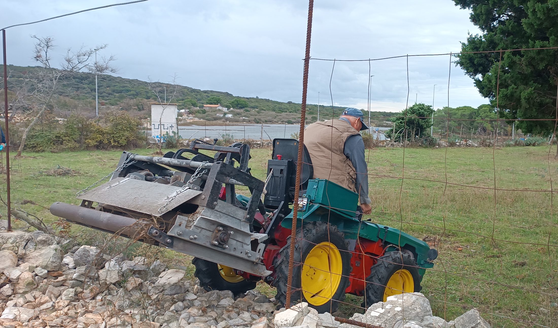
At the beginning of November 2023, terrestrial and underwater large-scale geophysical measurements were carried out in and around Osor. The project partner Archeo Prospections®, GeoSphere Austria used motorised and manually operated Ground Penetrating Radar (GPR) systems, allowing almost 4 ha to be surveyed within a few days. Prior to the survey, however, the areas had to be prepared – manual and with heavy machinery – for almost two weeks, as some land parcels were covered with dense vegetation and large stone material.
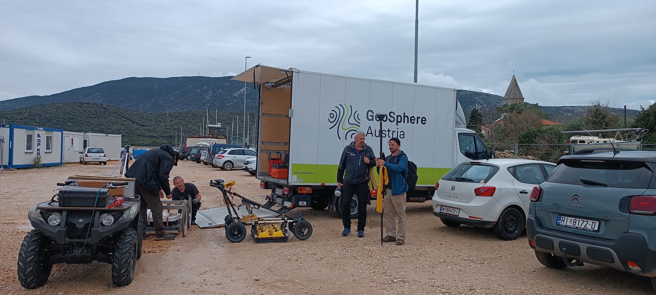

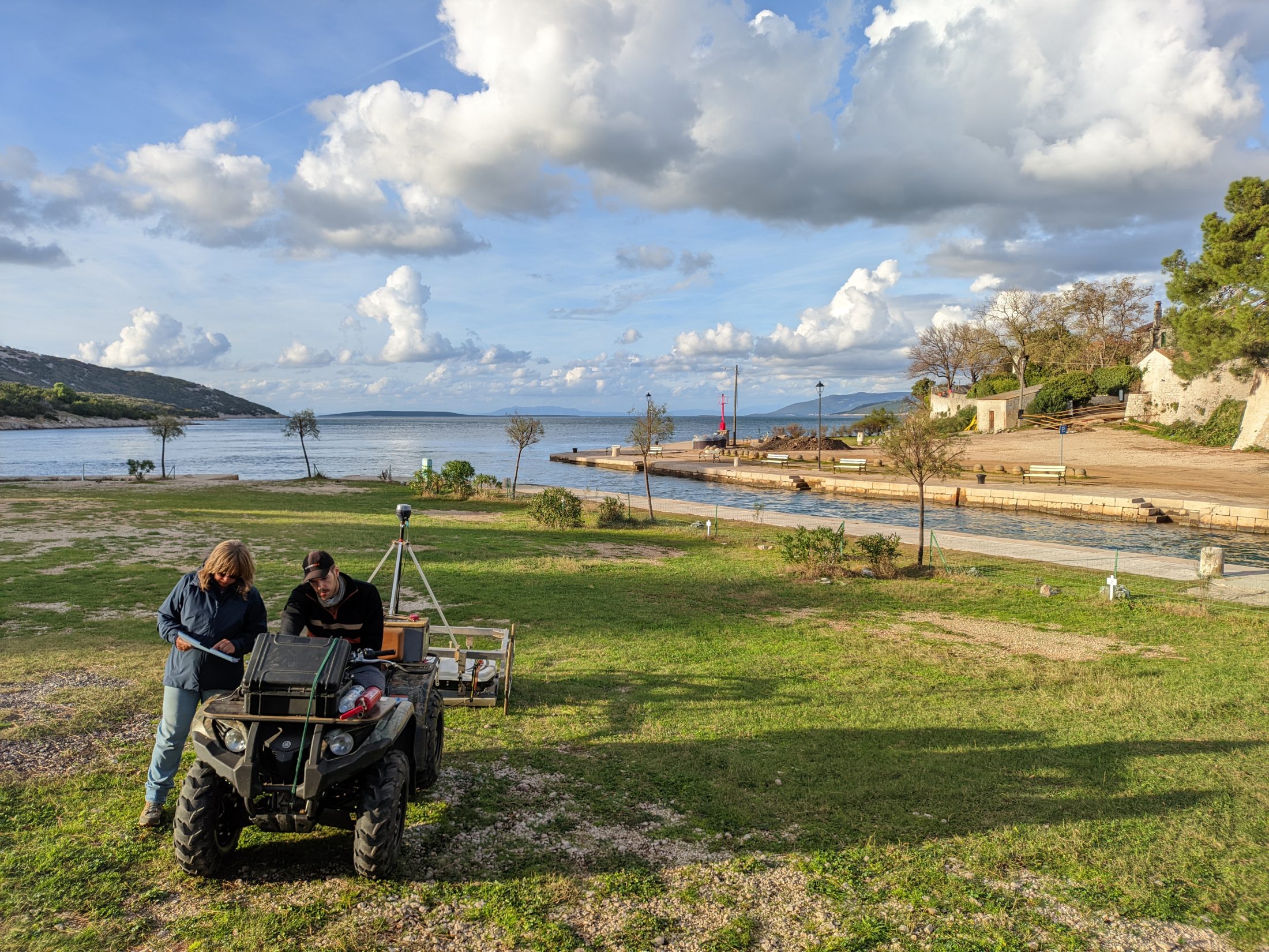
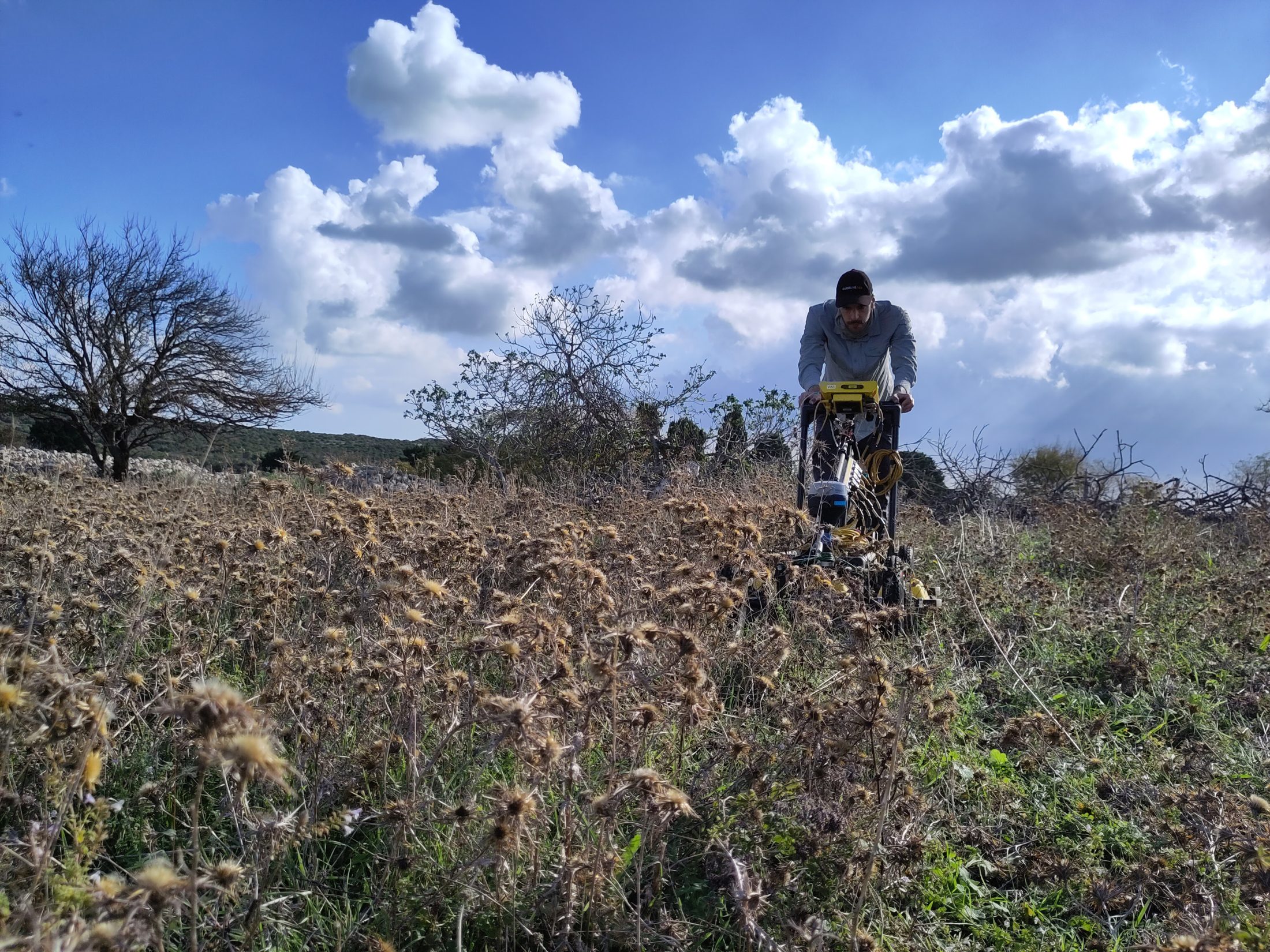
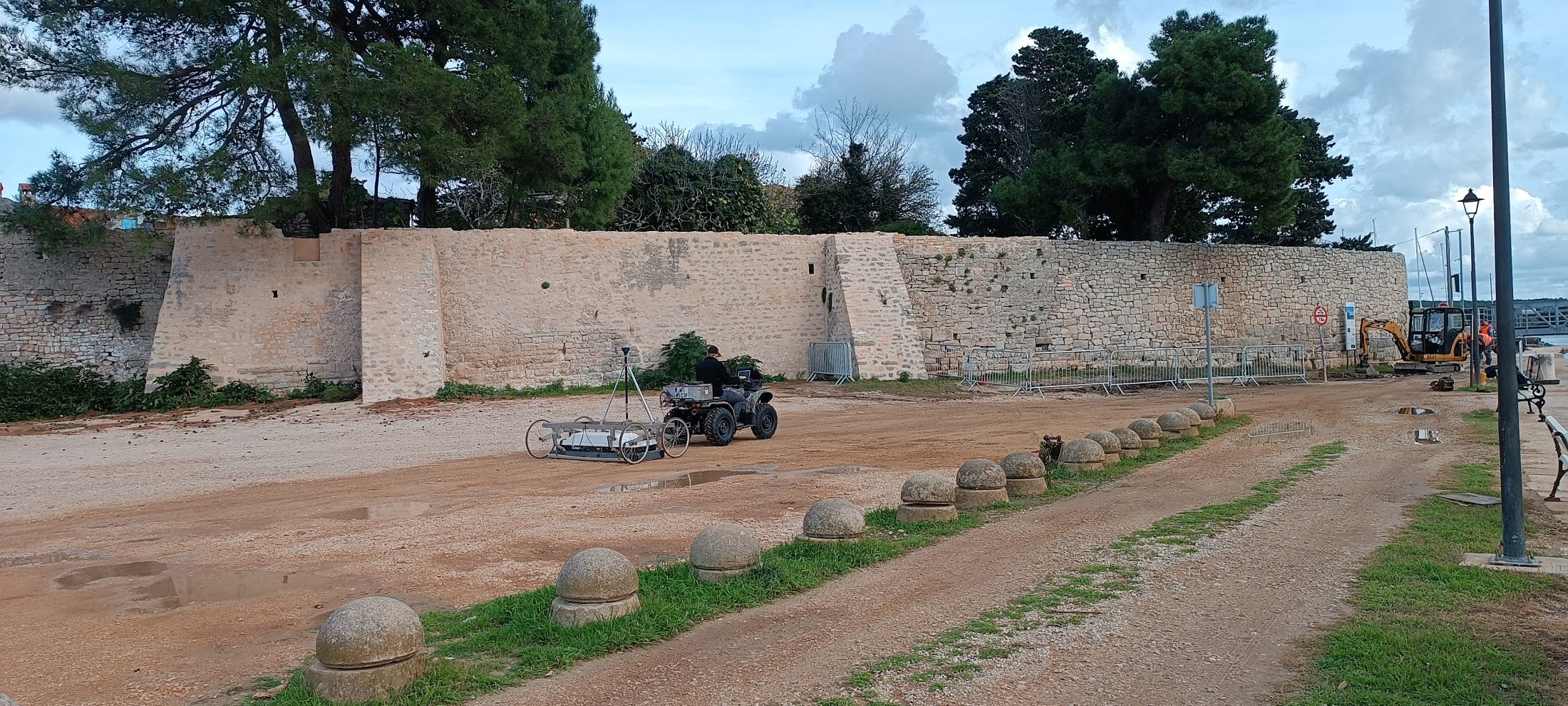
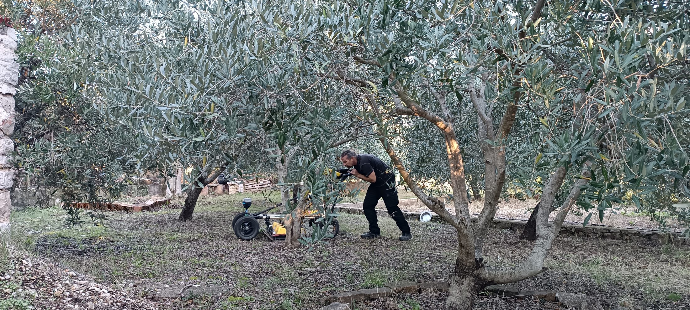
Geophysical terrestrial prospection uses diverse methods (geomagnetic, ground penetrating radar, resistivity and electromagnetic induction surveys) for the documentation of archaeological structures hidden in the shallow subsurface. The choice of the method depends on the soil, geology and structure of the site. Modern geophysical hardware and software are highly efficient and capable of excellent imaging quality. GPR provides detailed three-dimensional information about the approximate depth, shape and location of archaeological structures and is especially valuable in the study of ancient cities.
Moving the slider (white vertical line) in the image opens up a view of the Roman city and its buildings and streets, which are no longer visible on the surface (©Osorbeyondthemyth).
At the same time, underwater geophysical survey work was carried out under the direction of the project partner Croatian Geological Survey. During the survey a multibeam echosounder (MBES) with a pole mounted WAASP S3 echo sounder was used and covered an area of approx. 11 km2. The area was also surveyed with Innomar SES-2000 (sub-bottom profiler). In a first step, the data will be used to determine the most favourable locations for marine coring and, in the further course of the project, for the reconstruction of the palaeolandscape.
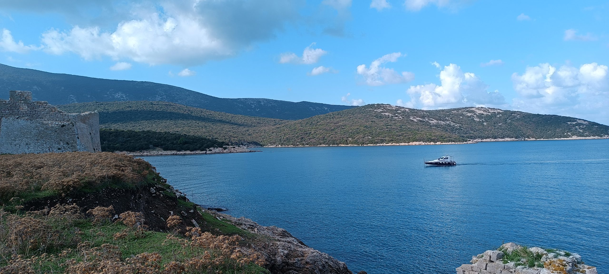
Research vessel used for geophysical survey at the gates of Osor.
1. December 2023
